The Area Surrounding Moab

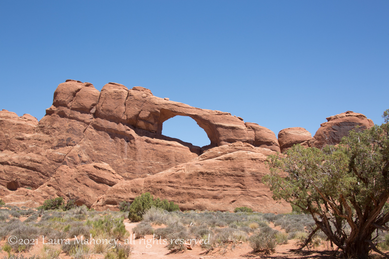
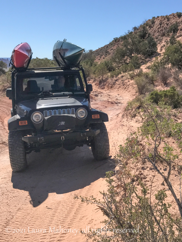
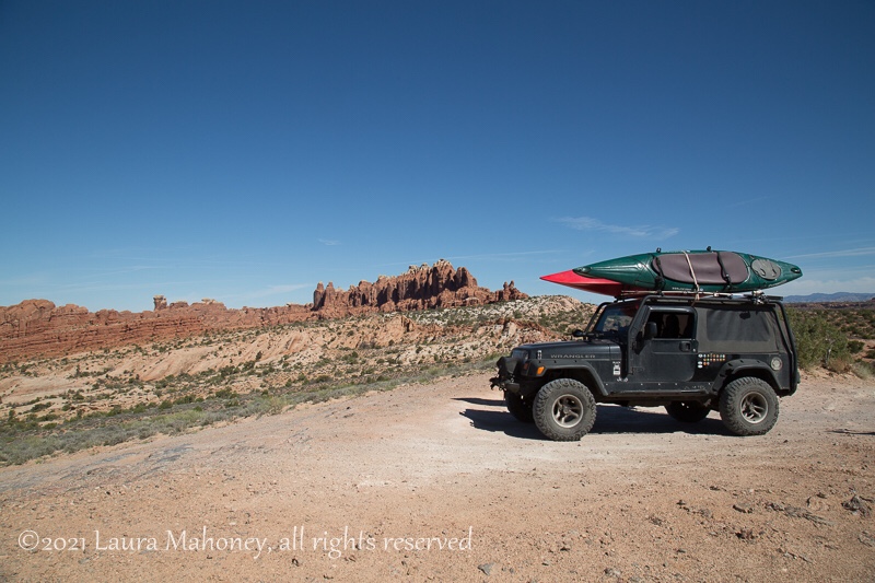
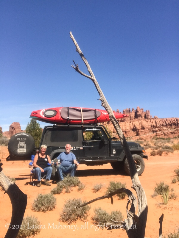
National parks aren’t the only reason to visit the Moab area.

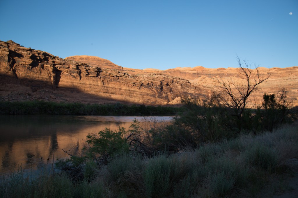
The Upper Colorado River Scenic Byway (Hwy 128) is located on the edge of town. This 44.5 mile drive along the Colorado River, shouldn’t be missed. There are numerous camping areas along the river, as well as several boat launches. One of the beaches we passed had a couple families enjoying the spring weather…

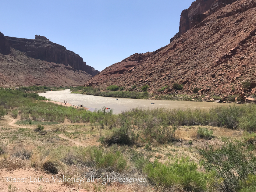
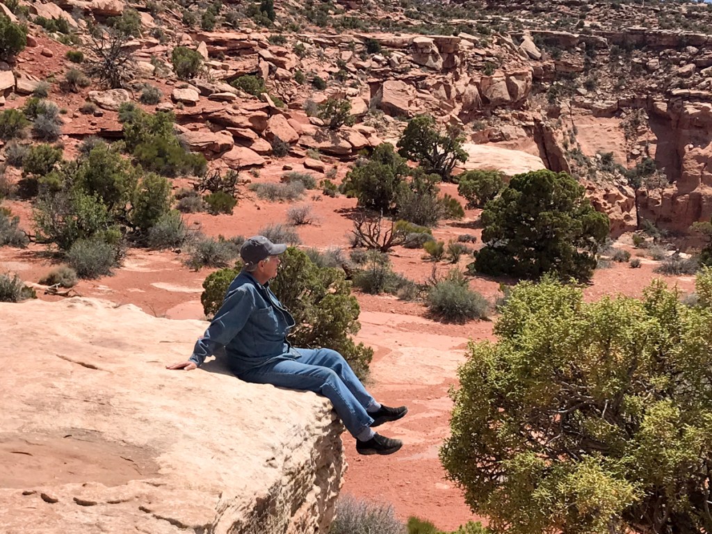
I imagine in the heat of summer, this place would be packed!

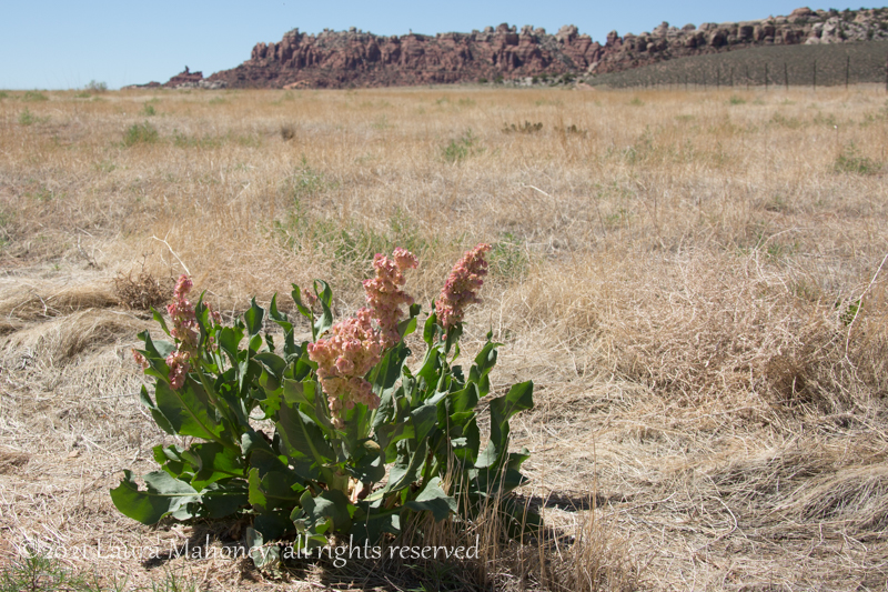
Spring flowers added a splash of color against the red cliffs…

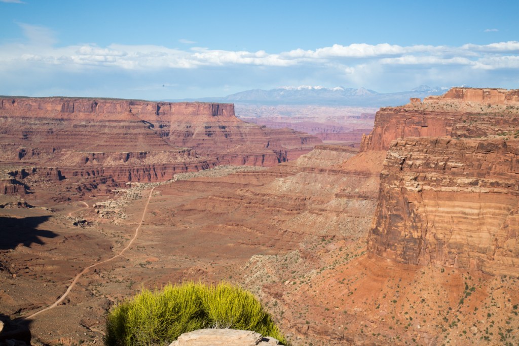
The snow capped mountains in the distance added another layer to the landscape…

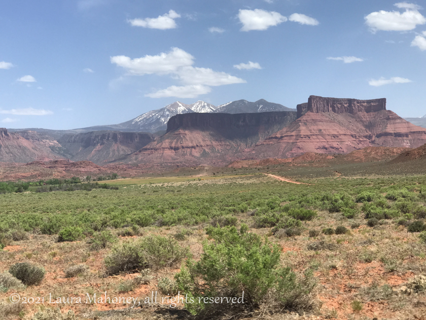
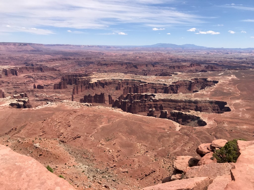
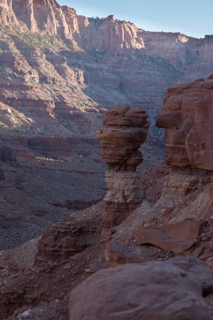
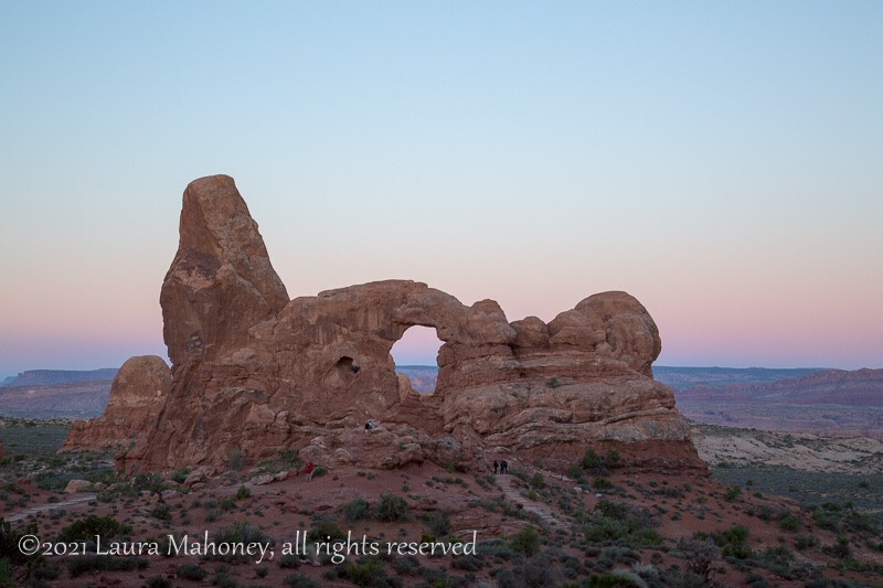
Iron oxide colors the land a lovely shade of red…

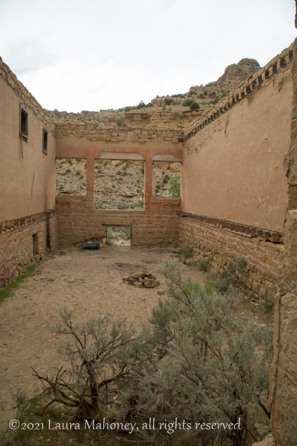
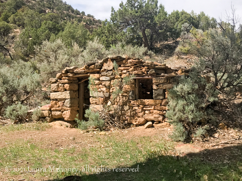
Not too far off Hwy 170 you can find the remains of the coal mining town of Sego. Around 1910, Henry Ballard discovered an exposed vein of coal and began buying up the surrounding ranches. After mining for a year, he was bought our by investors from Salt Lake City. With grand plans, a boarding house, store and numerous other buildings were constructed. The first coal washing plant west of the Mississippi was also built. And a town was born. Originally named Neslen, in 1918 it was renamed Sego in honor of the sego lily that grows there. The mine changed hands several times before finally being abandon. Water shortages, mechanical problems and fires kept the mine in the red for most of its lifespan. A more complete history of the town can be found here. Today, there are few buildings still standing…

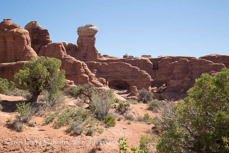
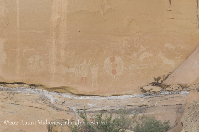
The Book Cliffs surround the ghost town of Sego and offer another reason to visit. Historians have identified 4 distinct styles of petroglyphs on the cliff faces.One can only imagine the stories that were being told…

Unfortunately, several have been defaced over the years .

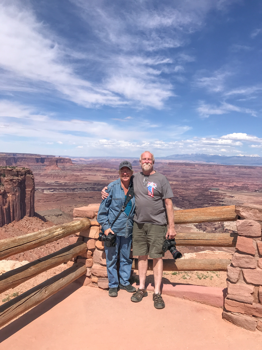
I hope you enjoyed our journey through the Moab area. The national parks are why we decided to come here, but this area has so much more to offer.

I’d love to hear your thoughts!

Canyonlands National Park

A mere 28 miles from the entrance to Arches lies another, lesser known or visited park, Canyonlands National Park .

Canyonlands is divided into 4 districts, the Island in the Sky, the Needles, the Maze, and the Rivers (the Green and the Colorado). Island in the Sky is the most accessible with paved roads, scenic vistas and easy to reach hiking trails. Reaching the other districts requires 4×4, horses, overnight hikes into the backcountry and a special permit.

We only had one day to visit Canyonlands and decided to take the Islands in the Sky Scenic Drive. We chose to drive to the end and work our way back to the entrance. The park rangers has warned us about limited parking at the Mesa Arch Trailhead and , as expected, it was packed when we drove by. With stunning scenery at every turn, it’s hard to take it all in. From deep canyons to vast mesas, the views just keep coming…

The cyclist in the above picture, yes, that minuscule black dot, provides a sense of scale.

When sensory overload begs you to find a seat and just take it all in for a moment, find the best one you can!

If you think I’m crazy, at least I don’t have my back to the edge of the cliff while someone takes my picture…

While you are gawking at the landscape, don’t forget to take in the things at your feet…

In my opinion, cacti create some of the most beautiful flowers. You’re not going to pick a wildflower bouquet, but you might end up with a hundred or so pictures on your phone.

It was around 4pm by the time we made it back to the trailhead at Mesa Arch. With only a handful of cars remaining, we easily found a spot and hiked the .6 miles to the arch. While Canyonlands NP is obviously named for, well, its canyons, it does have 80 or so arches. In comparison, nearby Arches NP boasts over 2000 arches (the highest concentration in the world). We had no problem finding someone to take our picture…

Or taking crowd-less pictures of the landscape…

We still had a few hours of daylight left when we finished the Island in the Sky drive, so we decided to take the long way back to Waldo via Pucker Pass 4×4 trail.

We weren’t very far down the trail when we came across a possible problem. With the kayaks on the top, I wasn’t sure there would be enough clearance. Plus the trail at this point had turned a bit rough…

While we made it though without any problems, the vehicle you can see behind us turned around. Soon, we were back to switchbacks and more amazing scenes…

If you look closely, you can make out the trail near the bottom of the canyon. We found an area to pull off the trail and take the required selfie…

Moonrise over the cliffs signaled the impending sunset…

As the shadows began to lengthen, we knew it was time to move along…

The Colorado River signaled the end of the trail and our day’s adventures…

It would be easy to spend a week or more exploring Canyonlands. Maybe next time!

Up next – The Area Surrounding Moab

Thanks for coming along, I’d love to hear your thoughts on our adventure.

Arches National Park

Last year, we visited Arches National Park. OK, so I’m a little behind in posting but, in my defense, we did just spend 6 weeks with very limited connectivity. Anyhow, back to Arches. We stayed at Ballard RV Park in Thompson Springs, Utah. We chose Ballard because it was close to everything we wanted to see, but didn’t have the Moab crowding.

We drove into Moab to pick up information about Jeep trails and National Parks so we could plan how to make the best use of our week in the area. We were disappointed to learn the entrance to Arches was generally closed by 11am due to overcrowding in the park and usually reopened in the late afternoon. We passed the entrance to Arches on our way back to Ballard’s and the car lining up to get in for the afternoon was nearly a mile long. We weren’t too keen on the idea of sitting in line for hours!

The next day, we decided to take a BLM road that looked like it went all the way into Arches from the back side. As we rode along, we were treated to some of Utah’s wildlife…

As well as some wildflowers and incredible scenery…

When we reached the boundary of the park, we were quite happy to find an open gate and a sign stating this was a fee area. Since we have a National Park pass, we drove on in!

Our goal was to spend the day exploring and deciding which arch we wanted to photograph at sunrise a few days later. We drove the entire length of paved roads in the park and saw some amazing arches and a very appropriate warning…

Our sunrise photography decision was Turret Arch as seen through North Arch. With our decision made, we headed back to Waldo via paved roads. As we exited the park, I made a time lapse video of the line of cars waiting to get in…

Dang!!! Luckily, to get there and set up for sunrise photography, we’d be coming into the park at 4am, shouldn’t be too bad at that hour.

We arrived back in the park a few days later, well before sunrise. There were lots of cars in the parking lot, but the ranger had told us many of those would leave as soon as the sun rose above the horizon…

We to the base of North Arch in the dark and took up our wait for sunrise. As expected, there were lots of people waiting with us…

But, 10 minutes after the sun broke the horizon…

The crowd began to thin. Steve found a place he wanted to be and so did I. Two very separate places!

My patience paid off with my favorite shot of the morning…

Turret Arch seen through North Arch. Notice the lack of people!

With sunrise behind us, we set off for our next adventure…

I love my Jeep!! The pictures I took don’t really show how bad the road was…

But the road was definitely worth the views!

The only other way to get to Tower Arch is a 10 mile hike ~ no thanks! It was nearing noon, so Steve and I found a place for lunch…

Not a great picture, but you get the idea. We had about 5 more miles to go before we reached the park boundary and the scenery just kept being amazing…

We finally made it back to paved roads and called it a day.

Whether you are a hiker, a 4×4 enthusiast or a see it from the car kind of person, Arches National Park has something for you!

Up next…Canyonlands National Park

Out With The Old

Almost all of the bloggers I know do a special post to mark the end of the year. I always enjoy reading them. Inevitably, it makes me reflect on our own travels, trials and triumphs.

2018 held lots of promise for us as we began our first full year of RV living and working. We knew we’d be starting in Florida, but had no way of knowing for sure December 2018 would find us back there. Hell, there were times when we were broken down, I didn’t think we’d ever make it back to Florida. But we did. We met so many wonderful people along the way. People who changed our lives, possibly without ever knowing so.

I count us a dang lucky…our adventures have been many and our trials have been relatively few, given our lifestyle.

I thought long and hard about how I was going to commemorate 2018. Usually I end up trying to pick a favorite picture from each month – a top 12, if you will. 12? Who was I kidding? We took pictures in at least 13 states, visited 15 national parks/monuments/preserves and drove through western Canada. I couldn’t possibly narrow it down to 12!

My solution was a collage made from every state we spent any real time in (and Canada will just  have to forgive my exclusion of them in this post). The following collages are in alphabetical order, not the order we visited. So without further ado, here is 2018 in review…

Arizona

Alaska Collage

California

Florida

idaho

Louisiana

Nevada

New Mexica

Texas

Washington

Wyoming

I don’t know for sure what is in store for us for the next year. We have some tentative plans and lots of hopes.

I sincerely hope 2019 brings health and happiness to you and yours! Thank you for wandering along with us.