Not wanting to spend any more time than we had to at the RV park, I mapped out a long, circular day trip route. I’ve always wanted to go to Truth or Consequences, NM. Why? Well…it’s name is Truth or Consequences! Or as the locals call it T or C.
Up until March 31, 1950, the town was called Hot Springs, New Mexico. (Not to be confused with the 11 other states with towns named Hot Springs.) The change in the town’s name started out as a joke when Ralph Edwards, host of a radio quiz show on NBC Radio offered to broadcast his show from the first town to rename itself after his show – Truth or Consequences. The original intent of the citizens was to change the name back, but here we are 74 years later and it is still called T or C.
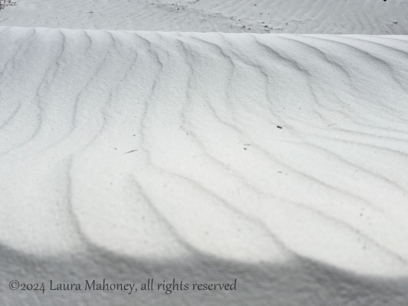
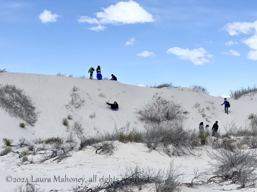
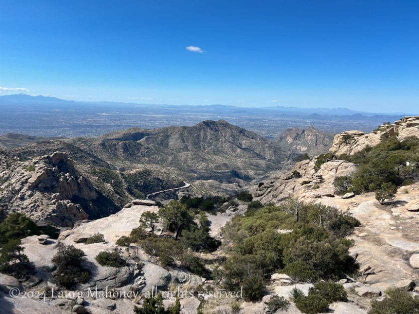
As we headed northwest out of town, I was looking for additional things to see or do along our route. I discovered something else that is also visible from space, like White Sands NP. Valley of Fires recreation area is located next to the Malpais Lava Flow. Approximately 5,000 years ago, Little Black Peak erupted and flowed 44 miles into the Tularosa Basin. The lava flow is four to six miles wide, 160 feet thick and covers 125 square miles. The lava flow is considered to be one of the youngest lava flows in the continental United States. From space, there is a stark contrast between the white of White Sand NP and the black of the lava field.
If I had read up on it earlier, I would have planned an entire day there. As it was, we made a brief stop to see a bit of the lava field…
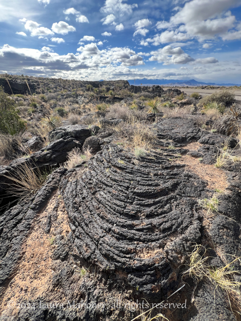
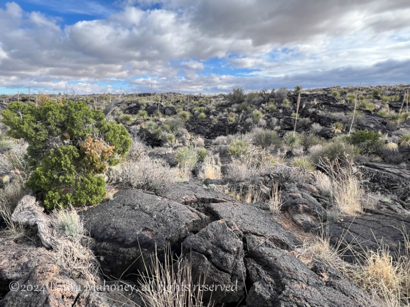
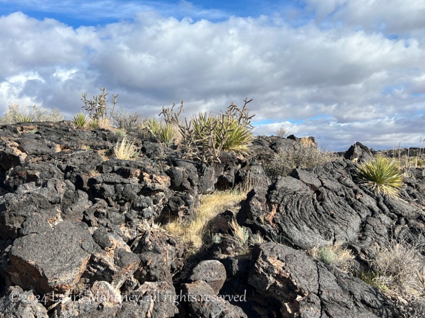
Scientists believe Little Black Peak erupted from a small vent as a continuous lava flow for 20 to 30 years. I imagine this offered a better chance of survival than a mass ejection of molten lava. Either way, I’m glad I wasn’t around then!
As I was reading names of towns we would be driving through aloud to Steve, he decided we just had to go to Elephant Butte. (Of course, to be funny, he kept pronouncing it “butt”.)
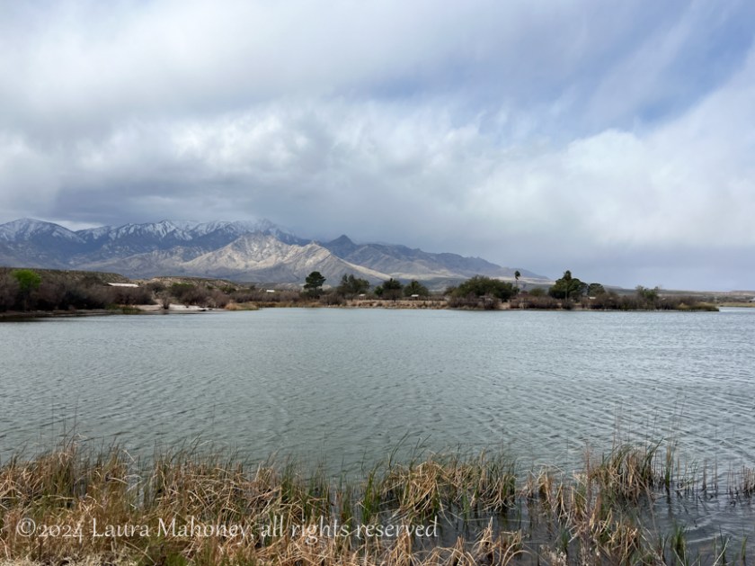
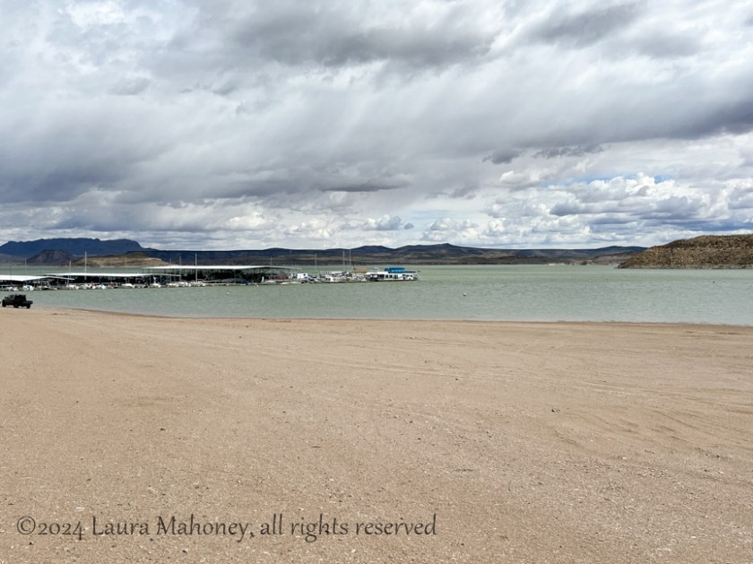
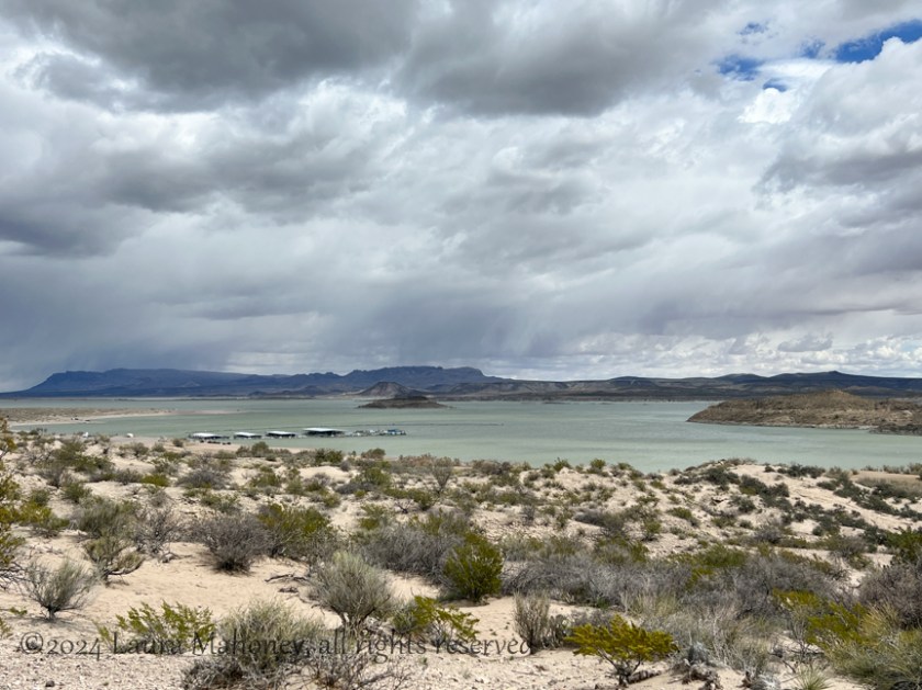
We stopped at Elephant Butte Lake State Park. The ranger at the gate was kind enough to let us drive through without having to pay the entrance fee. We explained we just want to look around quickly. He did tell us however, if we decided to kayak, we’d have to come back and pay. Much like many of the other reservoirs we have seen, Elephant Butte Lake was very low…
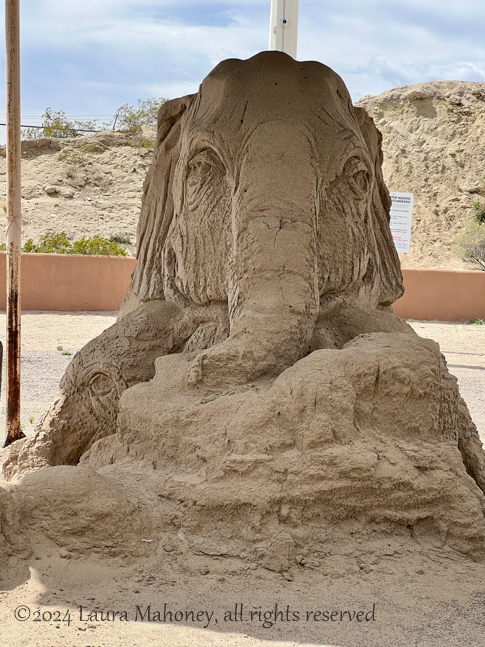
But, they did have a very cool sand sculpture…
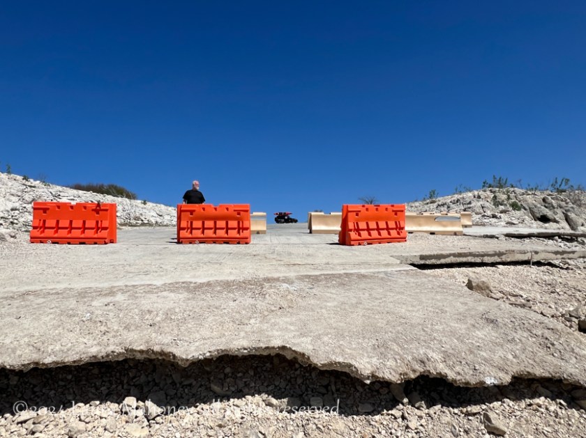
We left the beach area and drove over to the dam. I’d love to see what it looks like when the lake is full, but this was the view in early April…
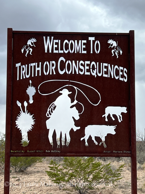
I entered the address of the visitors center in T or C as our next destination. I was hoping they would have a sticker with the town’s name on it for my collection. In case you didn’t know, I put stickers on the side of the slide of cool places we visit. On the other end of the slide, I put stickers of all our national parks, forests, seashores etc…just like I do on the Jeep. They didn’t have any stickers, but suggested I take a picture of the sign on the way into town…
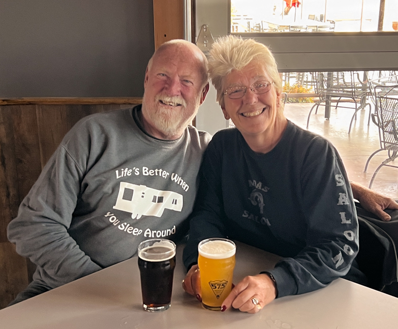
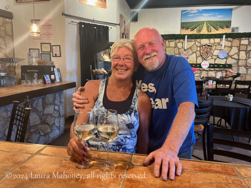
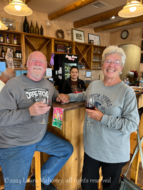
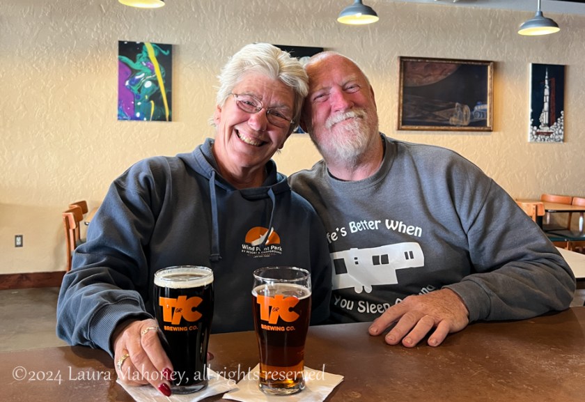
5 gift shops later, I did finally find a sticker! Another reason for visiting T or C, other than the cool name, is T or C Brewing Company!
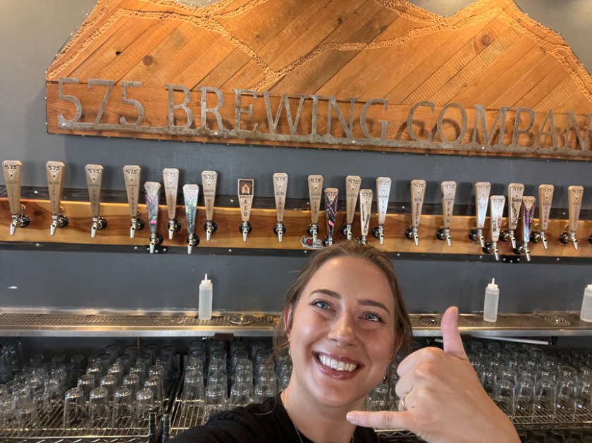
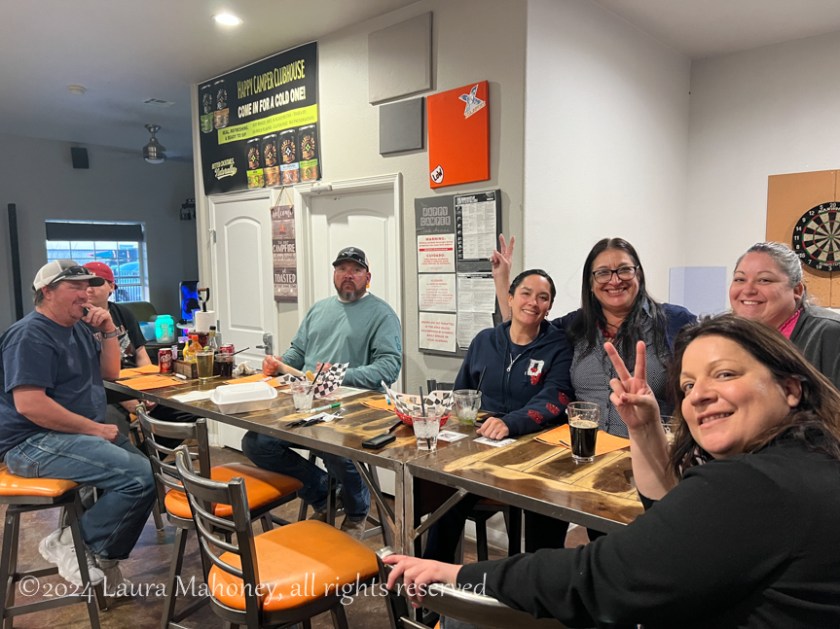
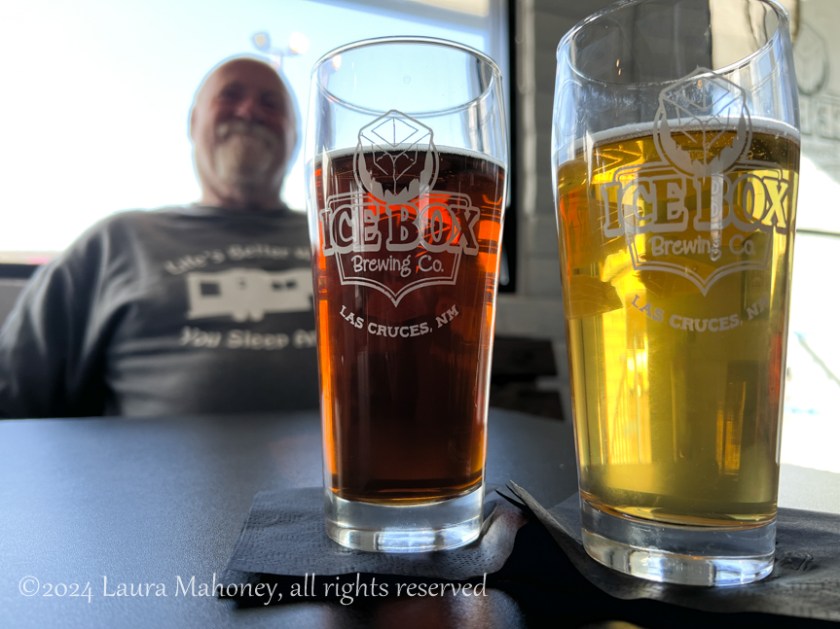
The afternoon was flying by and we were still only half way through the route I planned, so we enjoyed a quick beer and headed to our next destination, Las Cruces. I’m sure you won’t be surprised, but there is a brewery in Las Cruces! And, you guessed it, that is where we went for dinner. We went to their North Main Street location and had a delicious pizza, spinach/ artichoke flatbread and some great Ice Box Brewing beers.
After dinner, it was time to head back to Alamogordo. By the time we got back to Waldo, we had driven 322 miles, visited 2 breweries, discovered Valley of Fires and laughed about butte versus butt. All in all, it was a fun, but long day. In the morning, we would be heading back into Texas, but more about that next week!
Coming Up…
“Hey Texas – We’re Baaaack!”