
A mere 28 miles from the entrance to Arches lies another, lesser known or visited park, Canyonlands National Park .
Canyonlands is divided into 4 districts, the Island in the Sky, the Needles, the Maze, and the Rivers (the Green and the Colorado). Island in the Sky is the most accessible with paved roads, scenic vistas and easy to reach hiking trails. Reaching the other districts requires 4×4, horses, overnight hikes into the backcountry and a special permit.
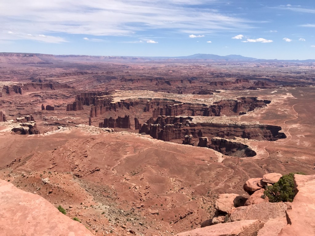
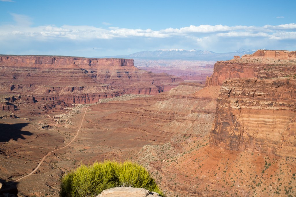
We only had one day to visit Canyonlands and decided to take the Islands in the Sky Scenic Drive. We chose to drive to the end and work our way back to the entrance. The park rangers has warned us about limited parking at the Mesa Arch Trailhead and , as expected, it was packed when we drove by. With stunning scenery at every turn, it’s hard to take it all in. From deep canyons to vast mesas, the views just keep coming…

The cyclist in the above picture, yes, that minuscule black dot, provides a sense of scale.

When sensory overload begs you to find a seat and just take it all in for a moment, find the best one you can!
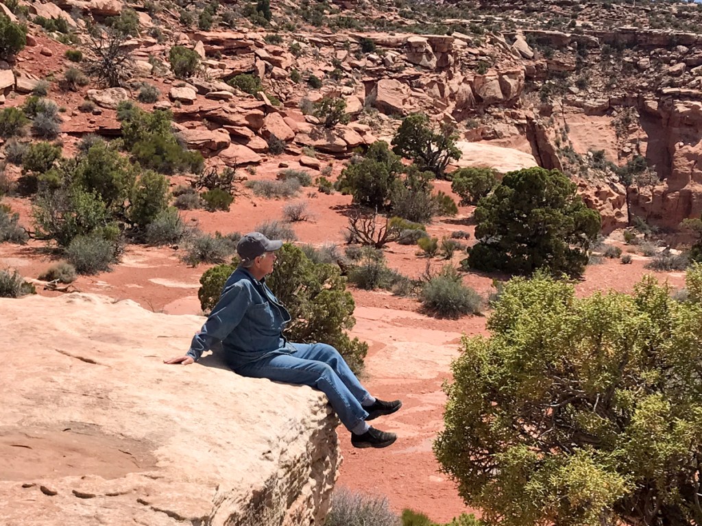
If you think I’m crazy, at least I don’t have my back to the edge of the cliff while someone takes my picture…

While you are gawking at the landscape, don’t forget to take in the things at your feet…

In my opinion, cacti create some of the most beautiful flowers. You’re not going to pick a wildflower bouquet, but you might end up with a hundred or so pictures on your phone.
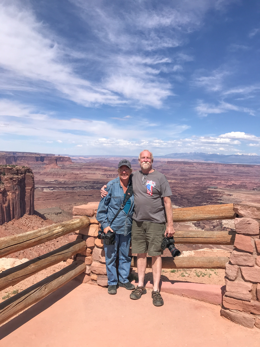
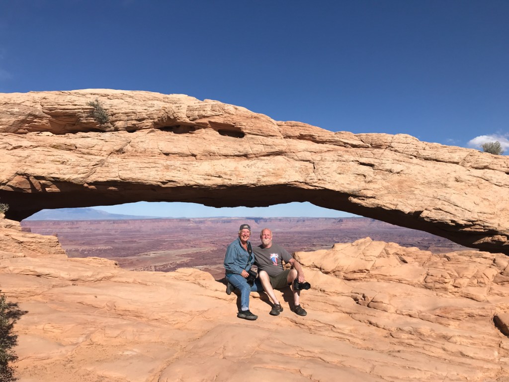
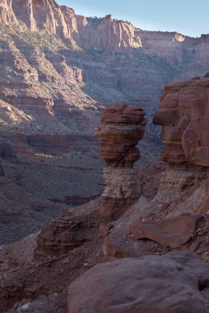
It was around 4pm by the time we made it back to the trailhead at Mesa Arch. With only a handful of cars remaining, we easily found a spot and hiked the .6 miles to the arch. While Canyonlands NP is obviously named for, well, its canyons, it does have 80 or so arches. In comparison, nearby Arches NP boasts over 2000 arches (the highest concentration in the world). We had no problem finding someone to take our picture…
Or taking crowd-less pictures of the landscape…

We still had a few hours of daylight left when we finished the Island in the Sky drive, so we decided to take the long way back to Waldo via Pucker Pass 4×4 trail.
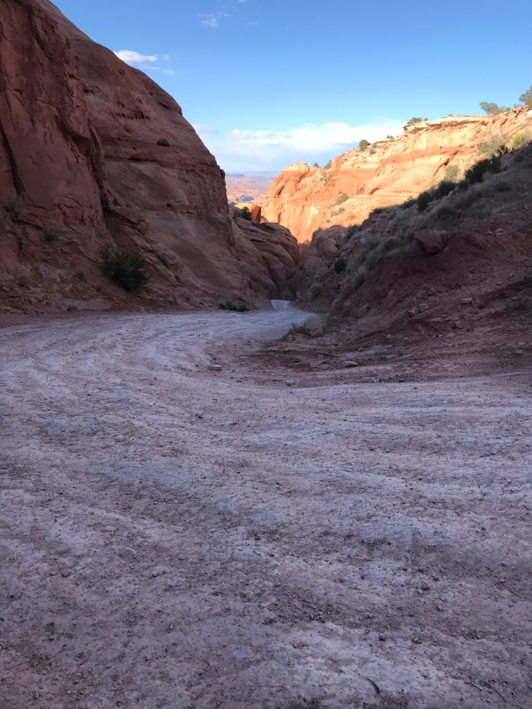
We weren’t very far down the trail when we came across a possible problem. With the kayaks on the top, I wasn’t sure there would be enough clearance. Plus the trail at this point had turned a bit rough…
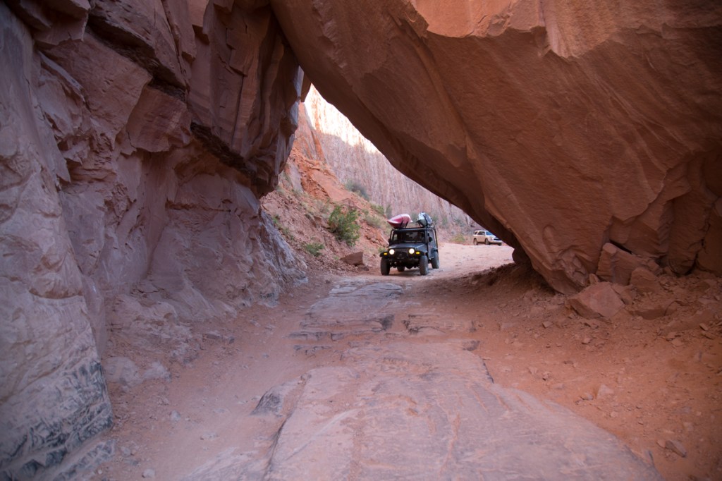

While we made it though without any problems, the vehicle you can see behind us turned around. Soon, we were back to switchbacks and more amazing scenes…

If you look closely, you can make out the trail near the bottom of the canyon. We found an area to pull off the trail and take the required selfie…

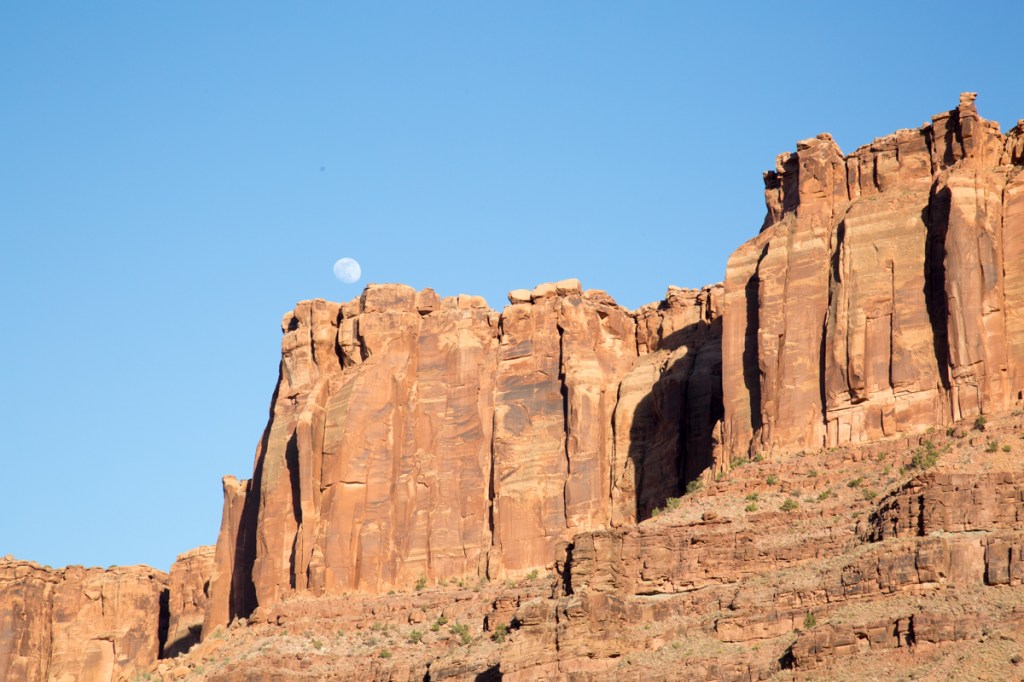
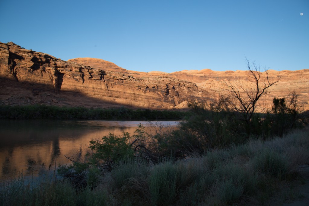
Moonrise over the cliffs signaled the impending sunset…
As the shadows began to lengthen, we knew it was time to move along…
The Colorado River signaled the end of the trail and our day’s adventures…
It would be easy to spend a week or more exploring Canyonlands. Maybe next time!
Up next – The Area Surrounding Moab
Thanks for coming along, I’d love to hear your thoughts on our adventure.
