Ever since leaving Florida, we have been making our way westward with the goal of reaching Tucson on March 18th. Steve would be working for Briter Products, a lithium ion battery company at an FMCA Rally. Since what I know about installing batteries, inverters and such is zilch, I would have several days on my own.
My first priority was to head to the post office to get those “special bolts” I’d been waiting for. When Steve ordered them, I looked up the closest post office to the Pima County Fairgrounds, where the rally was being held and told him to use that address. Silly me!! A little about Tucson Post Offices: there are 5 of them, one of them is within the Davis Mountain Air Force Base, completely inaccessible to non-military personnel, and only one of them accepts general delivery I was told. Guess which post office is closest to the fairgrounds, yep, the one on the base. Guess where my bolts were, on base! Long story short, I re-ordered the bolts, under my name because I couldn’t pick up mail addressed to my husband, and had them sent to the only post office accepting general delivery. Sheesh! Who knew this would be such a PIA!?!?!?!?
Interesting side note about Davis Mountain Air Force base, it has the world’s largest military aircraft cemetery.
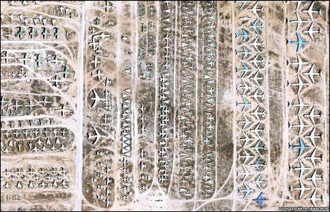
Anyhow, we already established I couldn’t get on base, so I only got to drive by it. Miles and miles of planes!
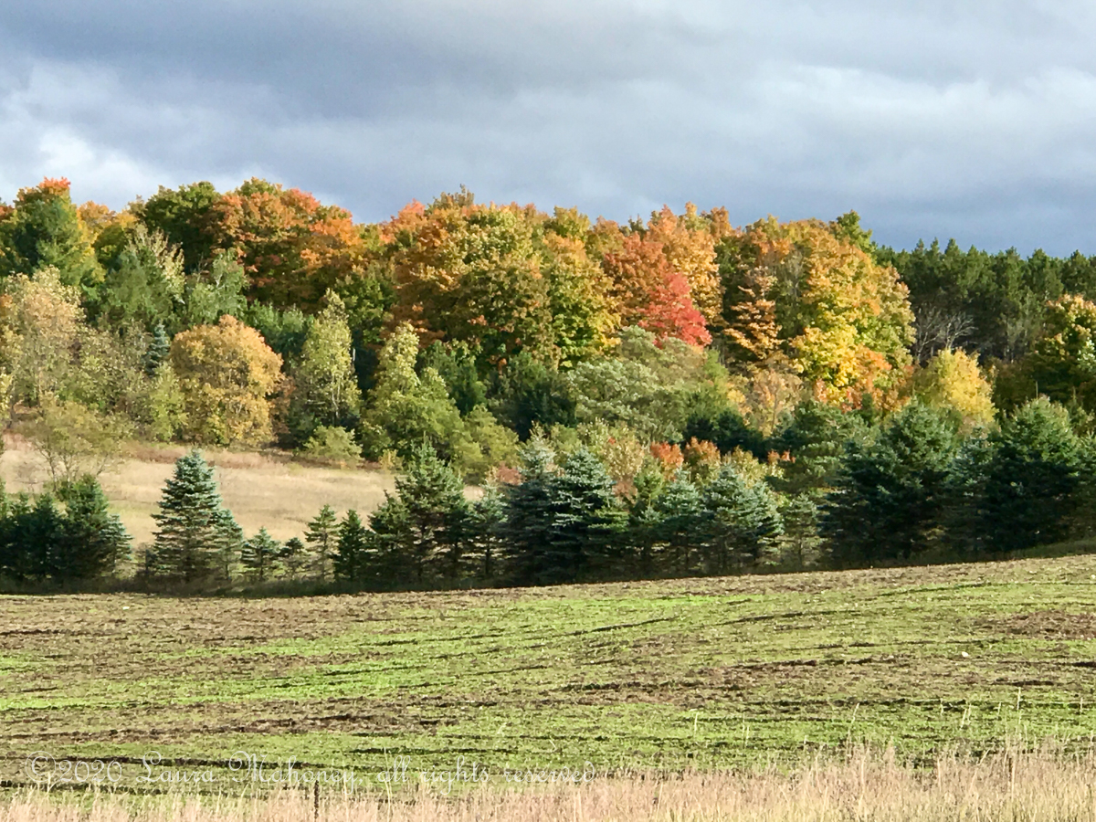
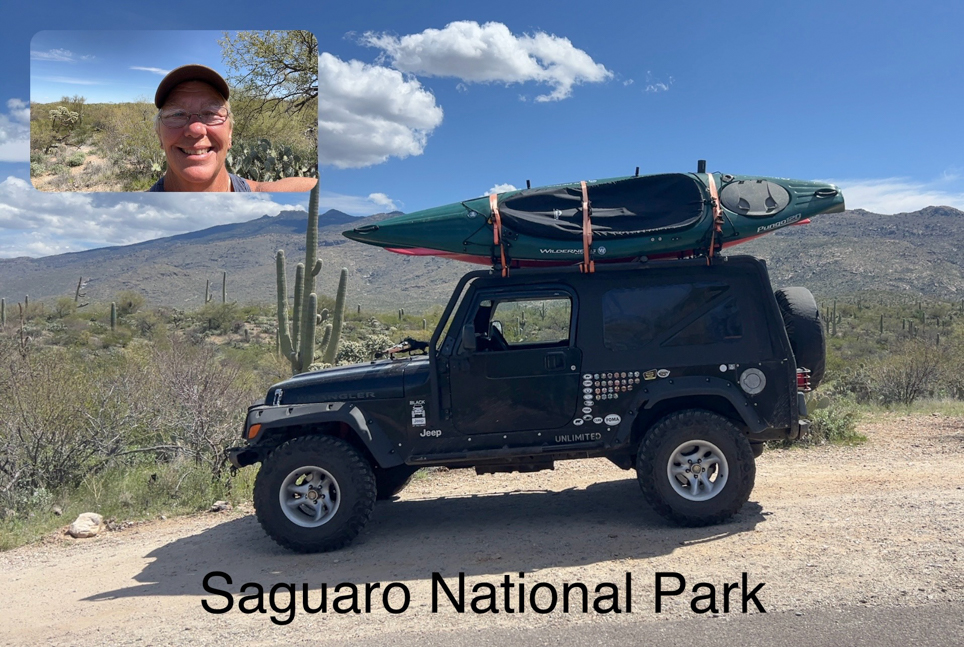
In 2022, Steve and I visited Saguaro National Park, I didn’t tell you about it since I was slacking on writing blog posts. I really love the desert southwest, so I decided to revisit. Since we were there in March of 2022 and I would be there, also in March, I’m including some of the pictures from both visits.

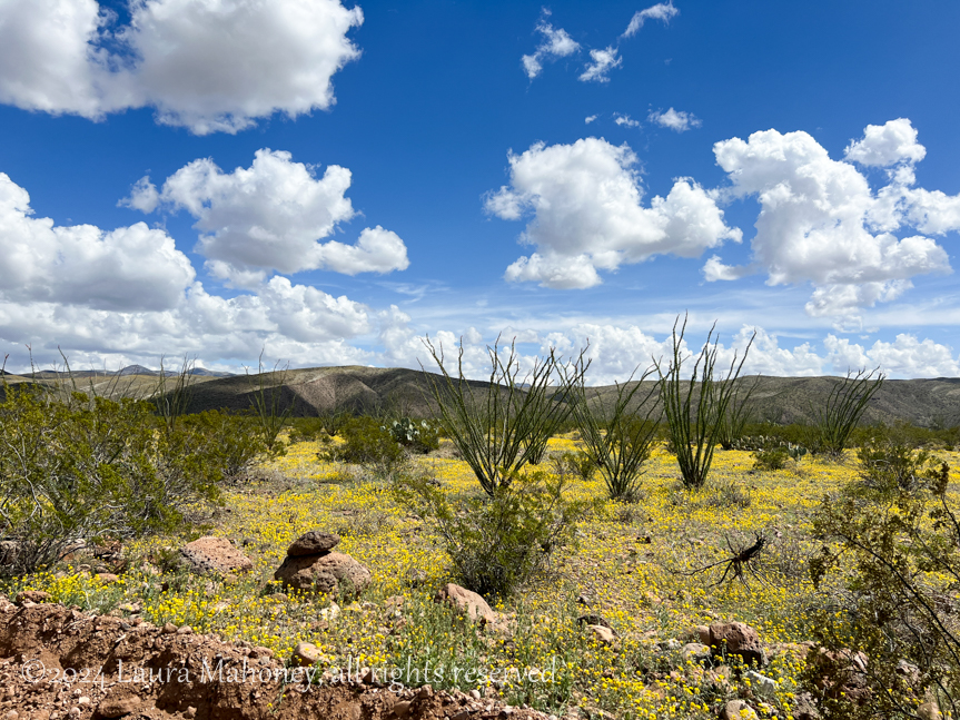
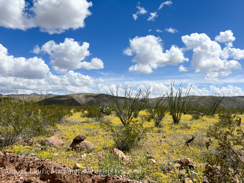
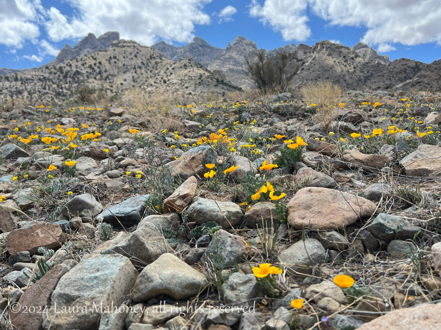
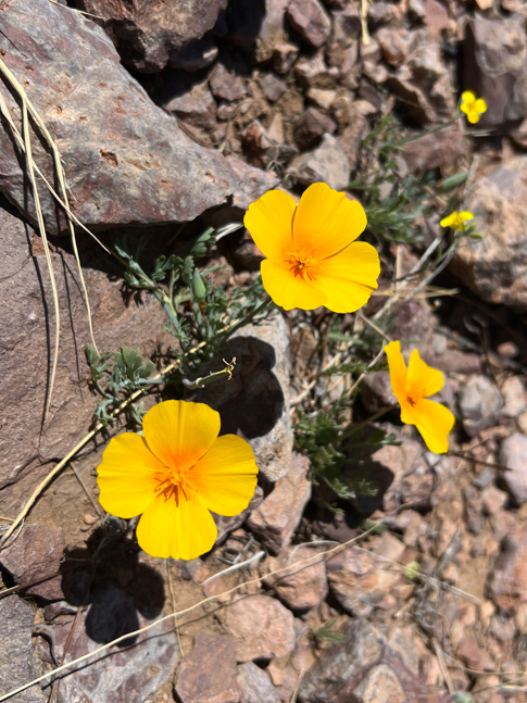
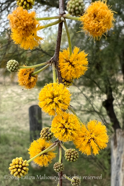
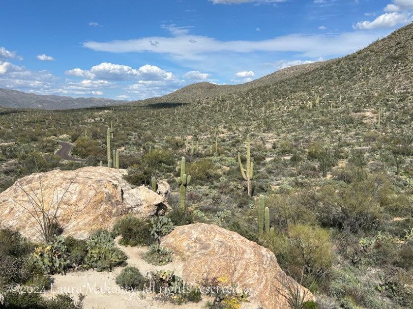
I drove the loop trail again and stopped at many of the same locations. March is a great time to visit since it isn’t too hot and the wildflowers are blooming…


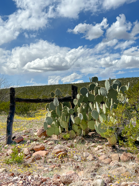
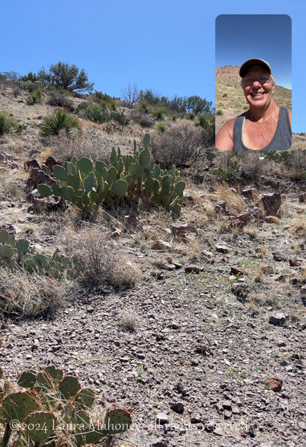
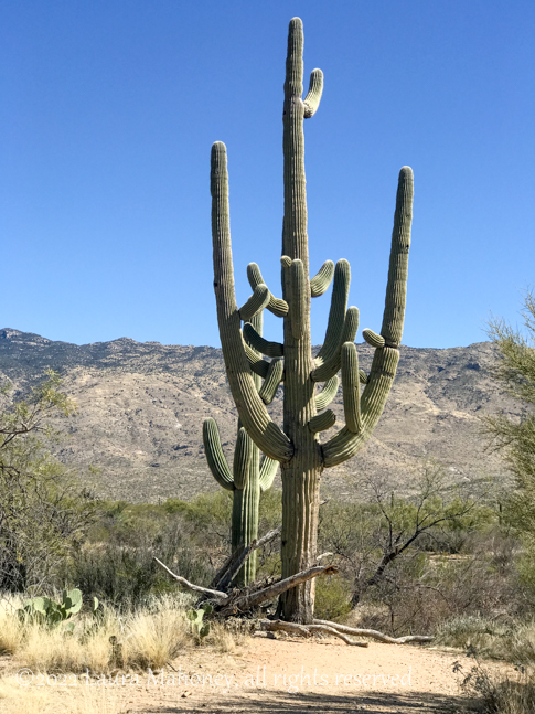
But cacti were what I went to see!
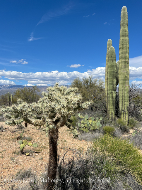
Or, how about cacti AND wildflowers…

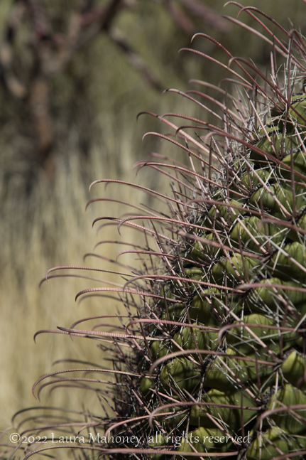
The barrel cacti had already bloomed, but the fruits were still forming…
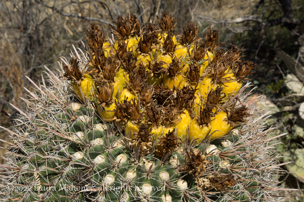
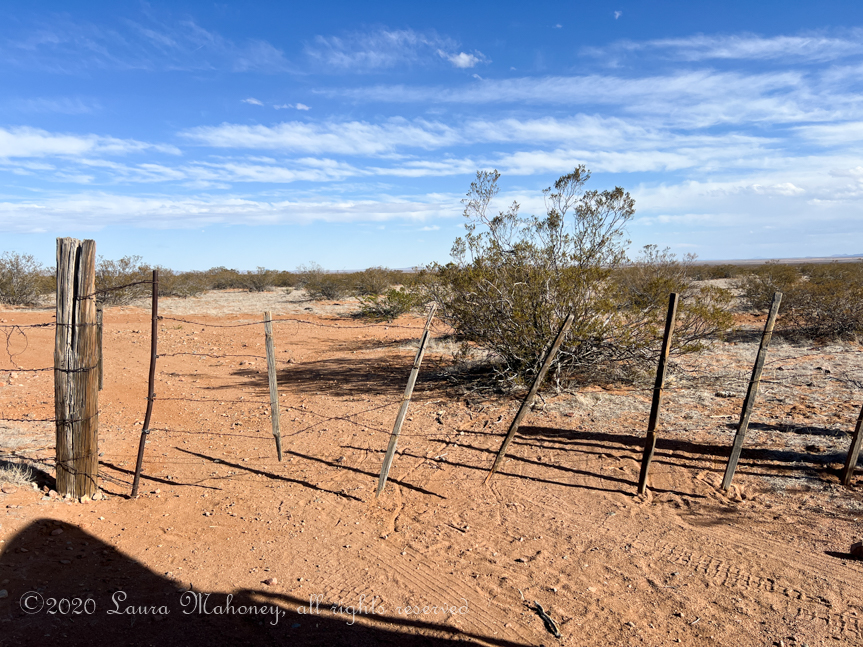
You definitely do not want to fall into one of them!
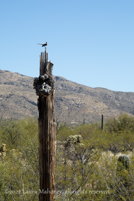
Road runners are one of my favorite birds, but hard to get a good picture. I did see one, resting atop a dead saguaro…
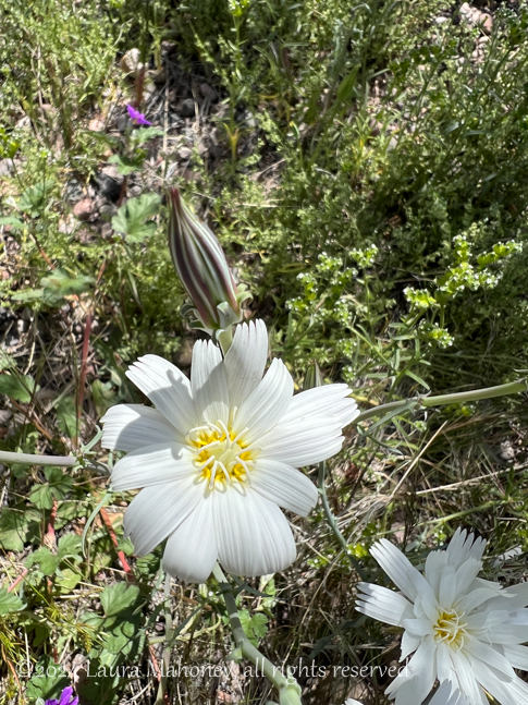
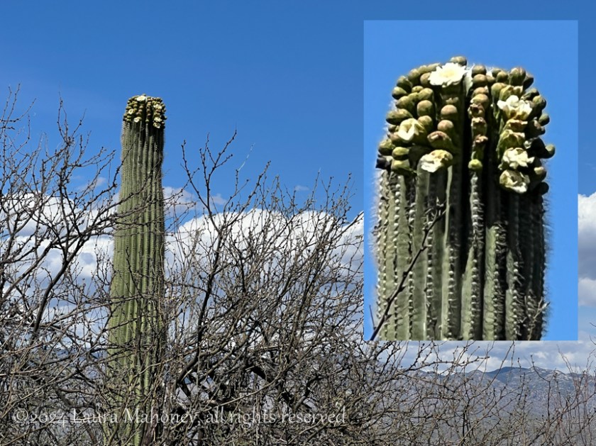
As I was driving along, I thought I saw a saguaro in bloom. Knowing it was pretty early in the year for blooms, I almost didn’t stop to investigate, but I’m sure glad I did! As I was walking back to take a picture, I met a lady, Liz, who also seemed interested in the wildflowers, so I told her what I thought I had seen. Together, we walked a bit further and, sure enough, it was just starting to bloom.
On our walk back to the parking area, I told her all about our nomadic life and adventures. She gave me lots of suggestions of things to see and places to visit while we were in Tucson. She told me about her family and suggested maybe one day while I was there we could adventure together. We swapped phone numbers then she followed me on FB and IG. We said our goodbyes and I headed out.
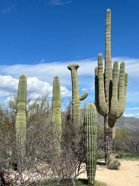
I took the side road, which goes to a picnic area, and saw my first cristate or crested saguaro…
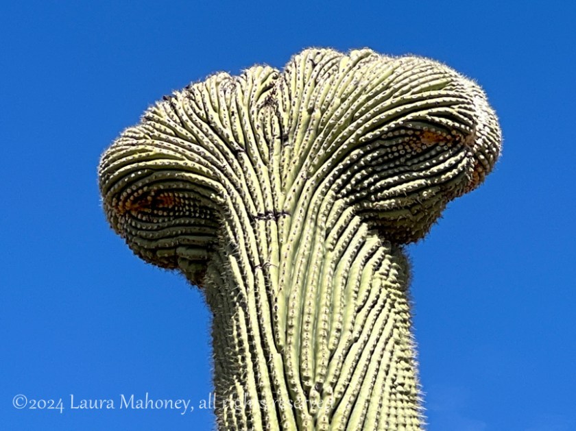
Zoomed in, I though it looked like an alien. Scientist still aren’t sure what causes this mutation, but I though it was pretty cool. If I had read more on the NPS website, I would have been able to find others in the park.
I was about 3/4 of the way around the Cactus Forest Auto Loop when I received a message from Liz. She and her son were at Javelina Rocks and was wondering if I’d be along soon. I let her know, I was only a few minutes out. When I arrived, it wasn’t hard to spot Liz and her son…

Liz was kind enough to come down to show me the easiest path to climb the formation. Once she pointed it out, she offered to stay below and take a picture of me…
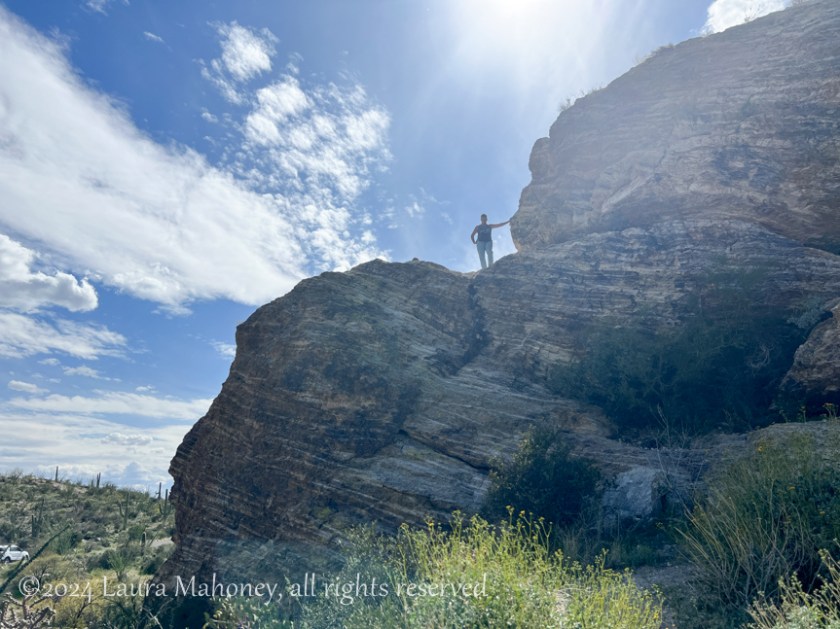
Then she rejoined us and we admired the outstanding view…
It had been a great day. A visit to one of my favorite landscapes and a new friend!

Coming Up…
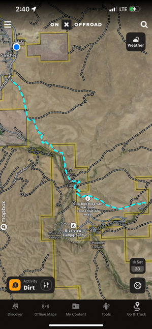
The Sky Island Scenic Byway