
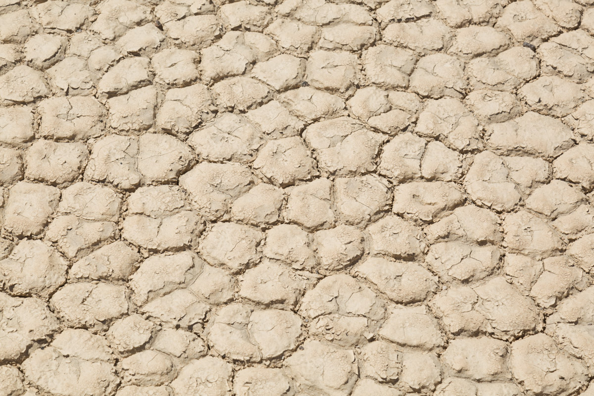
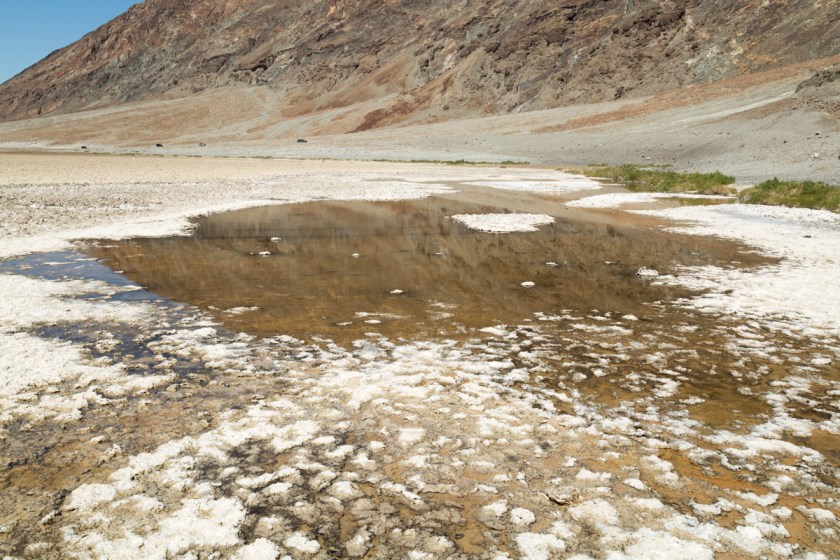
If you missed part 1 , you can catch up here. Badwater Basin is the lowest point in the United States, at 282 feet below sea level. The walk to the actual spot (about 1 1/2 miles from the marker sign) is along a salt packed trail. The shallow pools of water will evaporate over the summer leaving crusty salt mounds as far as you can see…
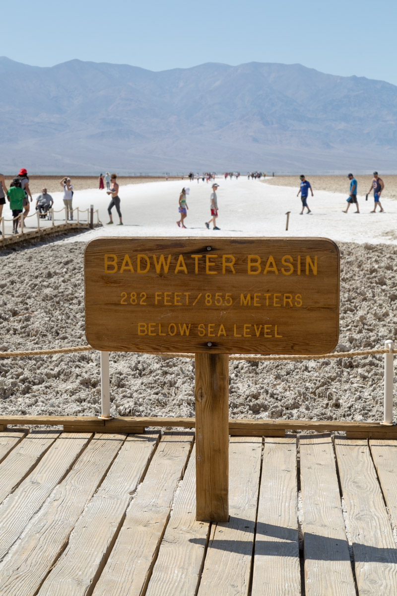
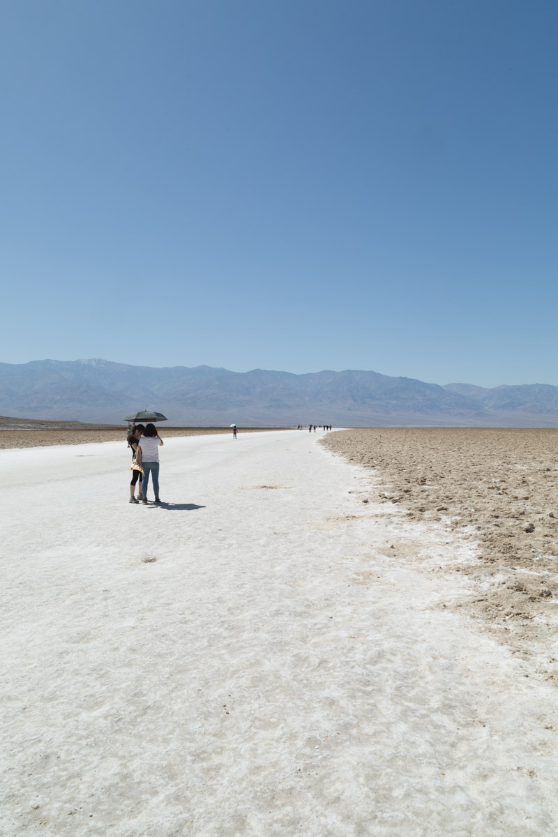
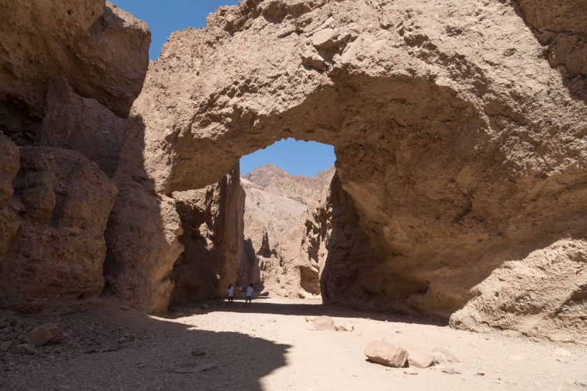
Since there was still so much we wanted to see, we didn’t walk all the way to the actual spot. We still had a couple hikes we wanted to do and with the temps pushing 90 degrees at 10 am we decided to move on. Our next stop was the natural bridge. It’s a fairly easy walk, despite being uphill. I can’t imagine the force of the water needed to carve such a bridge…
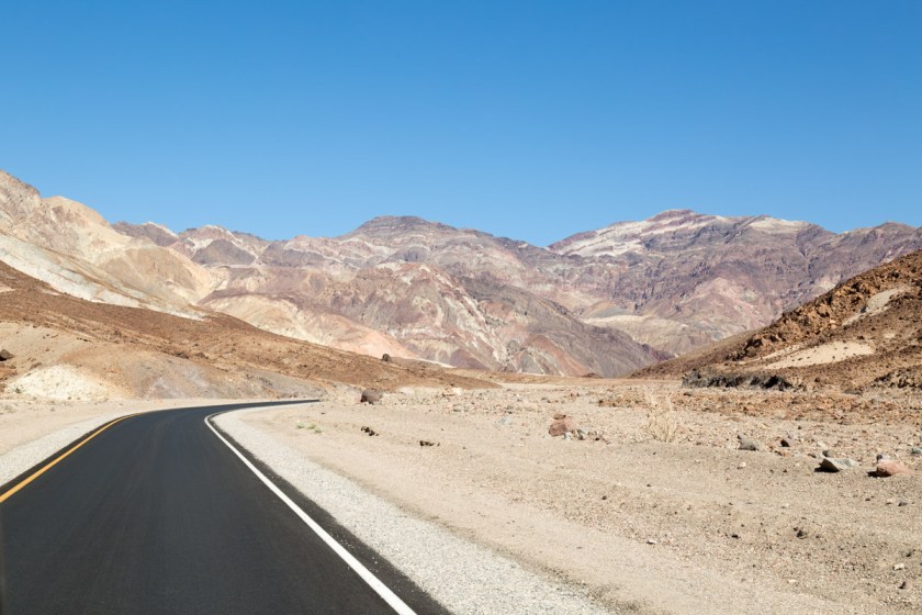
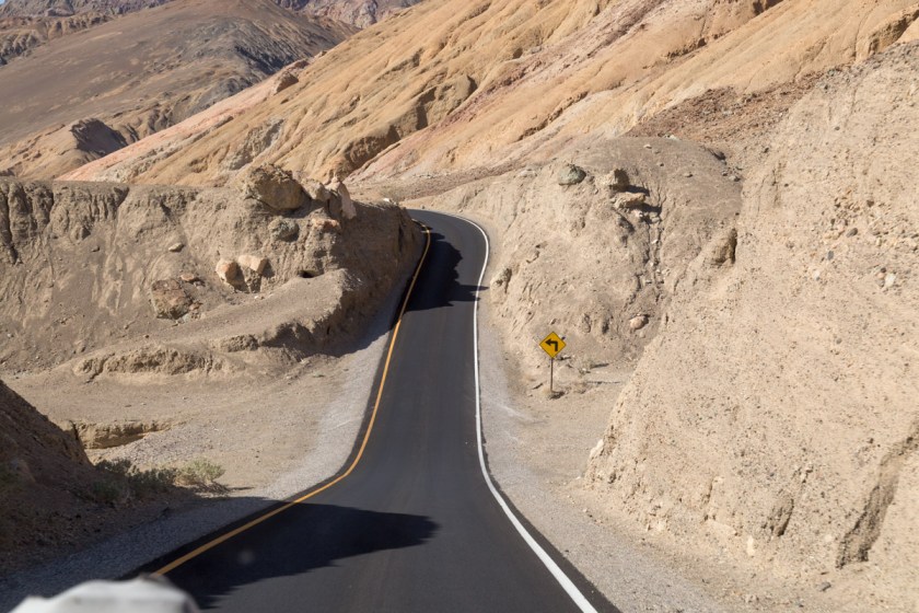
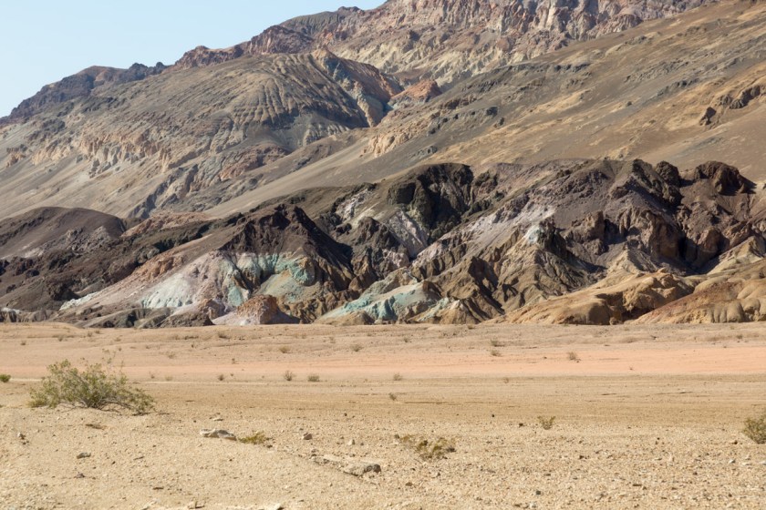
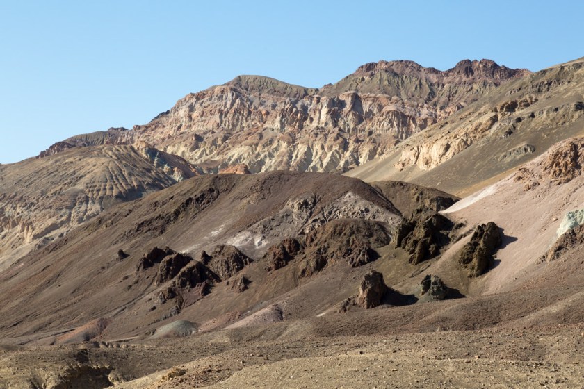
The National Park system did a great job of designing the scenic drives through the park. Most of them are one way and loop back to the main road. One such route is called Artists Drive. It is a 9 mile loop through some of the most colorful formations in the park. The narrow road winds through multi-hued volcanic and sedimentary hills…
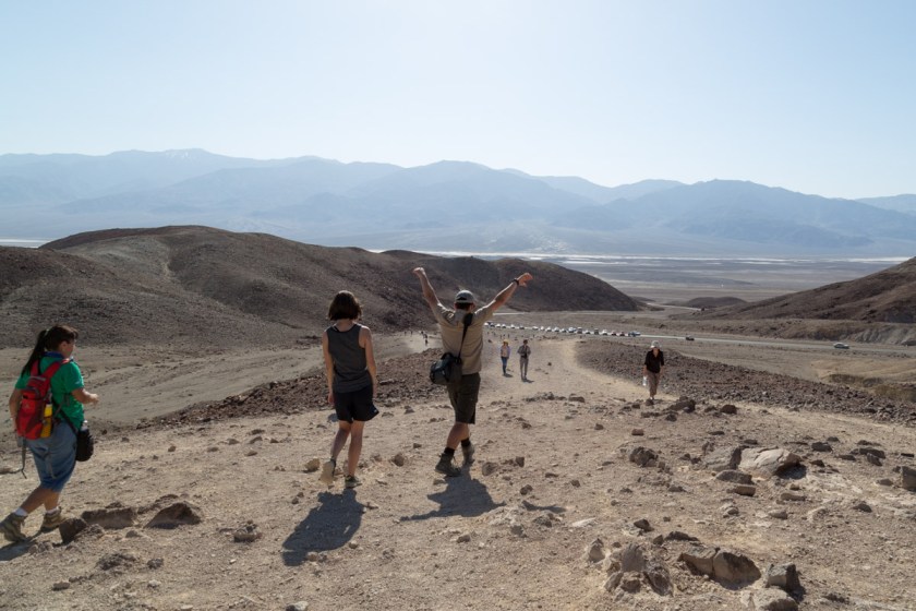
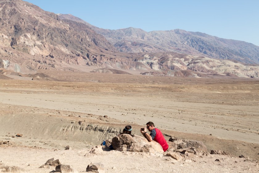
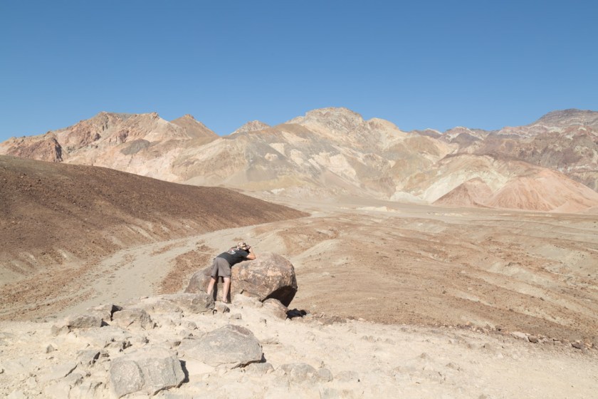
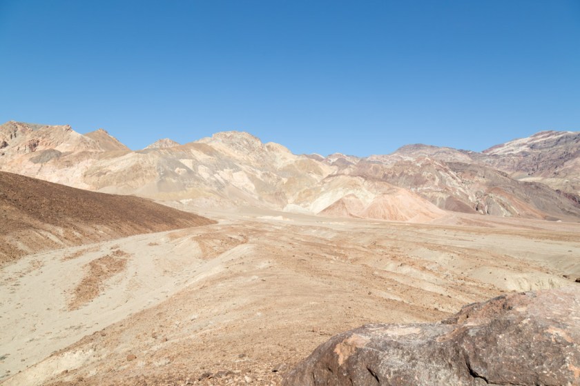
At the first pullout, we walked to the top of a fairly steep hill to get a better view of the landscape…
Back on the road, I looked over and Steve was grinning, ear to ear. The twisting road had him itching to test the laws of gravity…
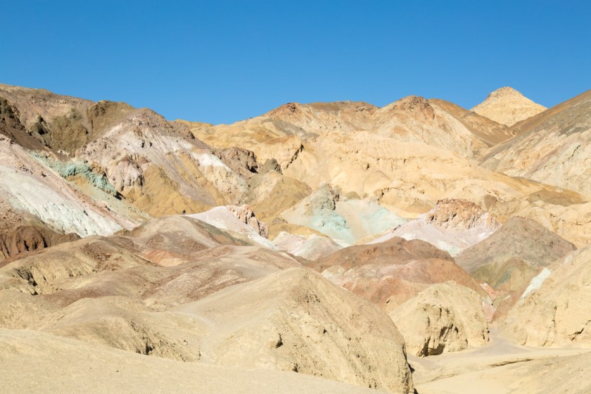
The next pullout is at a spot appropriately named Artist’s Palette. The colors were amazing. It’s like Mother Nature filled her paint brush with reds, browns, tans and greens, then spattered the colors much like a child fingerpaints…
As we were exiting the drive, the scenery changed yet again…
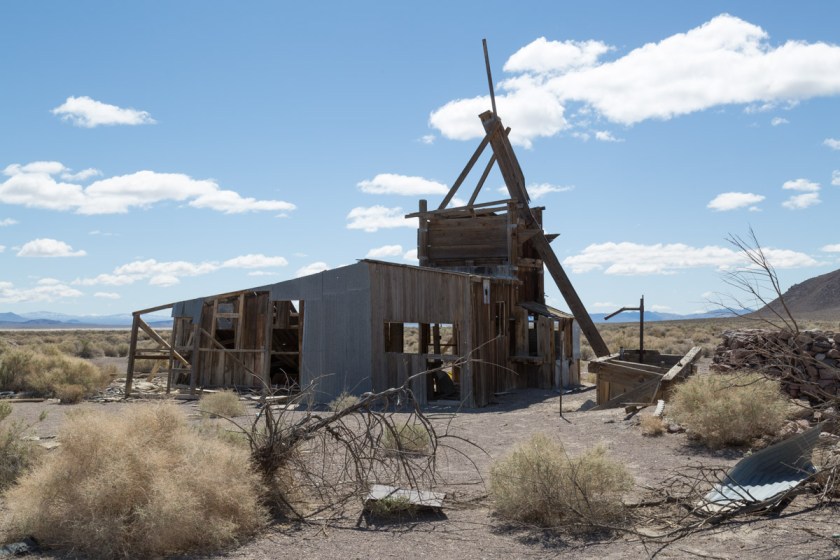
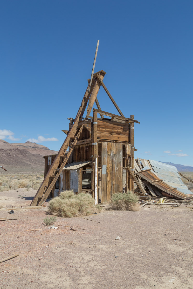
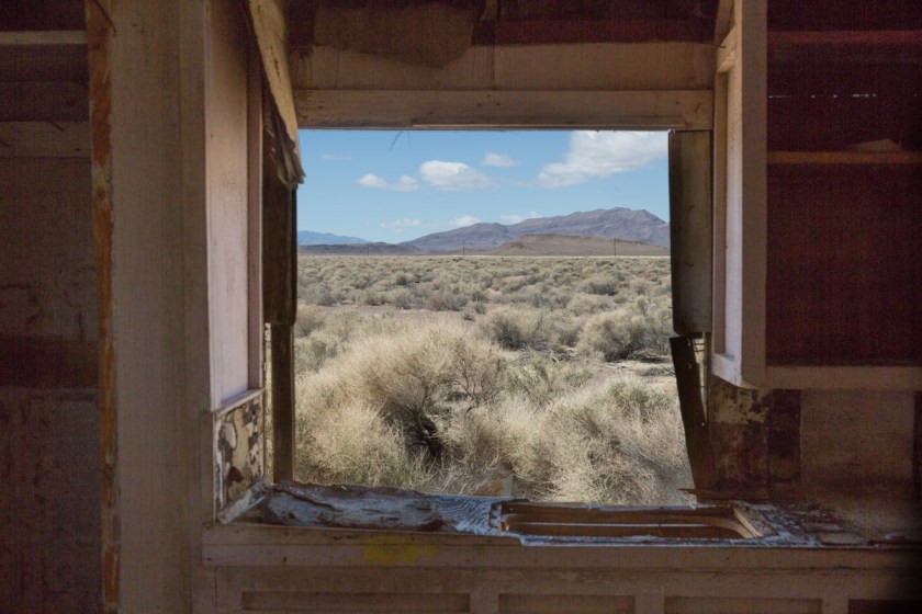
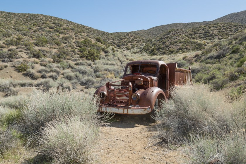
We were running out of time at Death Valley, but there was on more place I HAD to see – Racetrack Playa! (Read more about the interesting history and geology here) A playa is a dried lake bed and the Racetrack is nearly 3 miles long and 2 miles wide. Scientists estimate the dried beige mud is at least 1000 feet thick. The surface is so flat, it only varies 1 1/2 inches from end to end. We first attempted to reach the Racetrack via Scotty’s Castle Road. We were hoping the road closure signs meant the road was closed somewhere beyond the turn off to the Racetrack. A freak flood event happened in 2015 and destroyed the road and caused severe damage to Scotty’s Castle. (See pictures here). Of course, the road was closed prior to the turn off, so we had to settle on seeing more abandon buildings (I know, poor us, huh?)
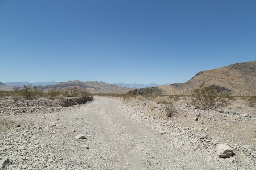
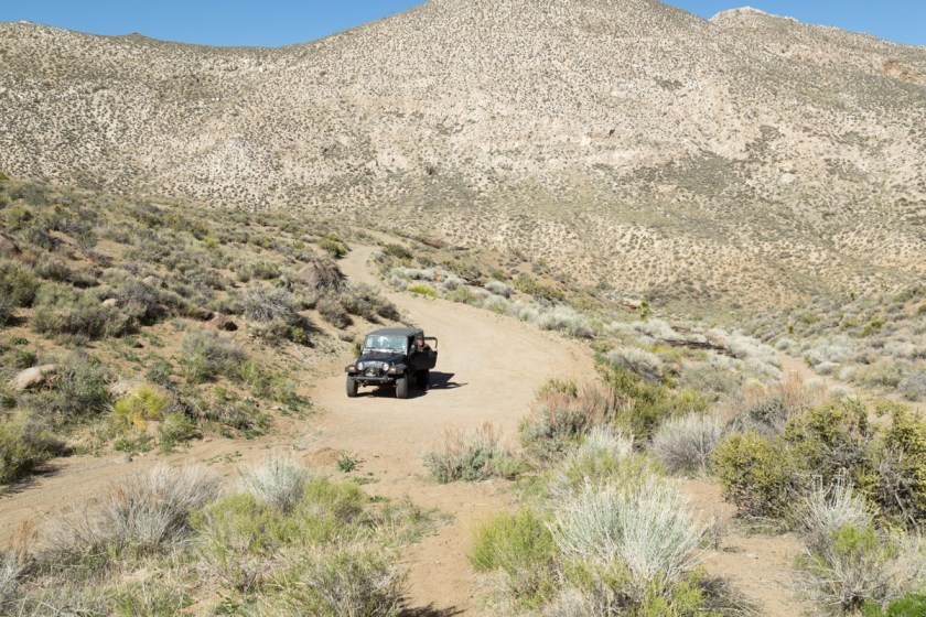
We had one more day and I was determined to get to the Racetrack. We checked the map and found an alternate route. One that comes with a warning…
“Caution: Rough and Remote Road
The road to the Racetrack is rough, and good tires, 4×4 and high clearance are usually required. Standard rental vehicles are not recommended, and often get flat tires. Use extreme caution on this road in the summer heat. There is no cell phone coverage in the area. Drive time from Furnace Creek is at least 3.5 hours each way. Other access roads make for even longer and more remote adventures. Driving offroad is strictly prohibited.”
OK…let’s go! When we left the pavement, the adventure began. I was finding it incredibly difficult to make any time. I kept having Steve stop the Jeep so I could take pictures…

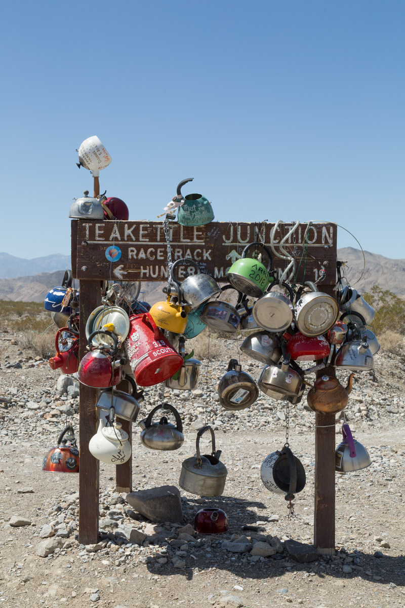
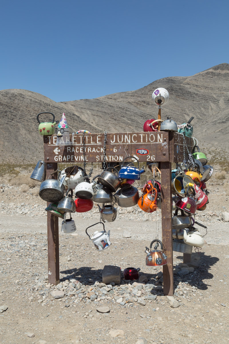
There is only one sign along the 26 mile route and I found it rather bizzare…
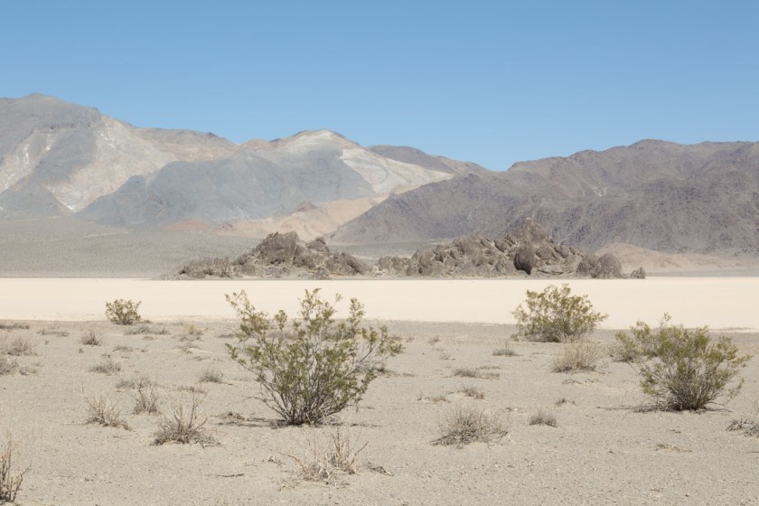
We were still 6 miles from the Racetrack, so off we went. As we rounded one curve in the road, we got our first view of Racetrack…
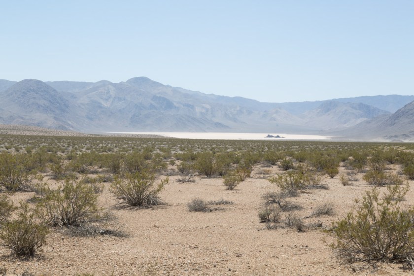
The outcropping of rocks in the middle is called the Grandstand…
What is so fascinating about Racetrack is the mysterious moving rocks. Although the mystery of how/why the rocks move was solved in 2014 (Read about it here), it still boggles my mind…
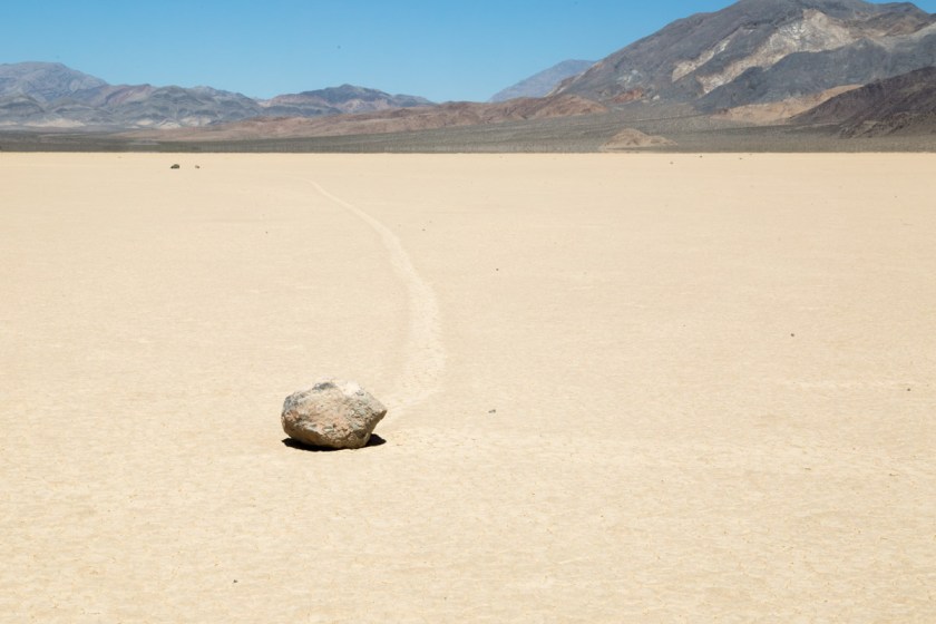

Two NPS Rangers were at Racetrack replacing a sign and we talked to them for quite a while. One of them said they have seen the playa completely under water and a day later, not a sign of water could be seen. He also said if people walk on it when it is wet, the footprints can stay there for years. The Jeep was just over half a tank of gas and we wondered if going back the same way we came was the best route. The ranger told us Hunter Mountain Pass was a drive we shouldn’t miss and we wouldn’t have a problem with 1/2 a tank of fuel. OK – Hunter Mountain it is! We drove back to Teakettle Junction and headed into the wild. As I mentioned before, there aren’t any road signs in the back country. Our GPS said we were on Hunter Mountain Road and I figured as long as it said that, we would be fine. Hmmm. When we came to the first split in the road, we went the werong way. That was ok, because it quickly dead ended at an abandon mine…
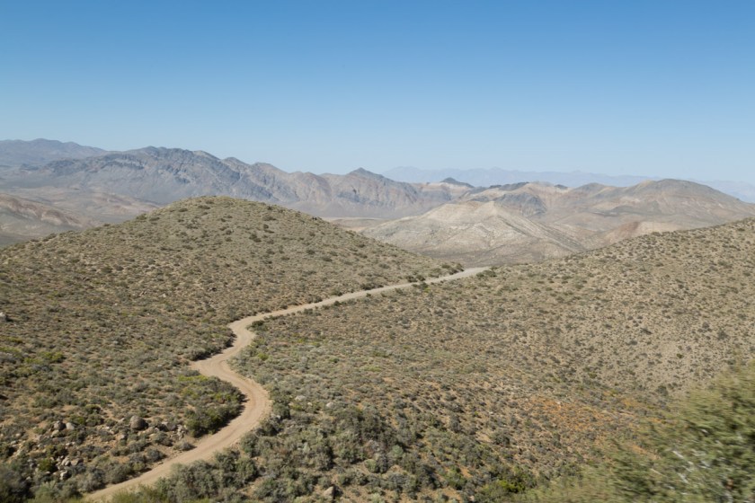
We got back on what we hoped was the right road and continued on. I could see the road off in the distance as it began to climb Hunter Mountain…
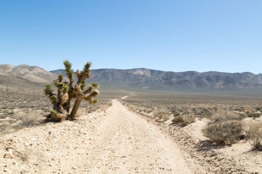
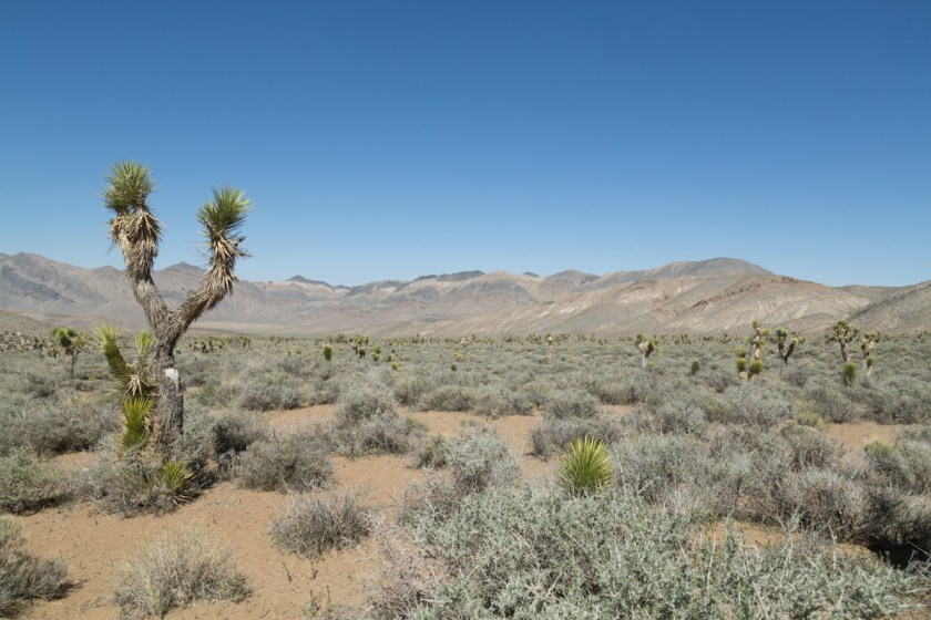
We passed a large area full of Joshua Trees…
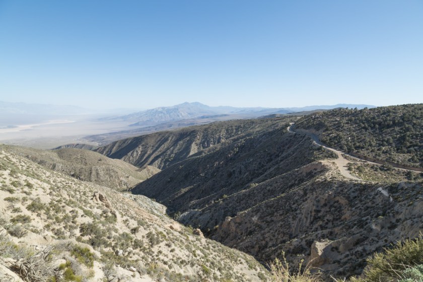
And began the climb. The road was barely wide enough for the Jeep and was a continuous set of switchbacks. The summit of Hunter Mountain is 7168 feet and the view is stunning…
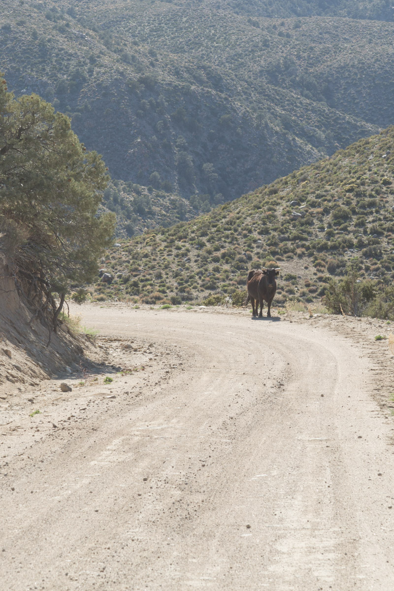
I was beginning to worry we were on the wrong road and were bound to run out of gas. I had no interest in being stranded, with no cell service, miles from anywhere! Finally, we passed another vehicle. The folks assured us we were on the right road, but it was still 30 miles to Panamint Springs. We got a bit of a surprise as we rounded a corner – free range cattle in the middle of the road…

When we made it back to the pavement, we made a beeline for Panamint Springs and fuel. When we saw fuel there was $4.99 a gallon, we made the call to continue to Stovepipe Wells -another 28 miles. We made it just after the idiot light came on. But, I have to say, I was beginning to hold my breath a bit! Fuel was still $4.17 a gallon, so we only put in enough to get back to Beatty.
Our time was up in Death Valley. We had only seen about half of it, but we had a time-table to keep. We still had 3344 miles to go to get to Moose Pass, AK. I hope to go back and explore more some day!
Thanks for coming along, I hope you enjoyed our take on Death Valley!

Really enjoyed looking through all your photos!:)
LikeLiked by 1 person
Thank you. Half the fun it taking them, the other half is having people enjoy them.
LikeLiked by 1 person
It is beautiful for that kind of scenery. Glad you two are enjoying the part of the good ole USA that you have not seen. More adventures to come. Have fun.
Meda
LikeLiked by 1 person
Thank you Meda. We are truly having the time of our lives!
LikeLike
Since we started traveling out west, I have had more than my fair share of “Oh my god, we’re gonna run out of gas” moments. We were so used to never worrying about it and you really do have to think about it out here. It’s especially nerve-wracking when you’re in the middle of nowhere and you have no cell service. Ugh…. Anyway, glad you made it. The photos of this area are so cool and I definitely want to see those rocks that move. We haven’t made it yet, but I expect we’ll try to visit in winter. I cannot even imagine what it must be like this time of year.
LikeLiked by 1 person
April was the perfect time to visit. Usually in the 60s in Beatty and upper 80s in Death Valley. Like you, I’ll pass on a summer visit. The moving rocks were SO cool. The worst part about the gas situation is I usually carry an extra gas can but forgot it that day. Lol
LikeLiked by 1 person
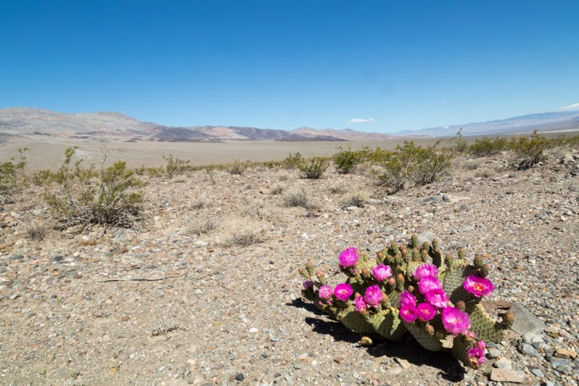
You guys are like us–we love to see where the dirt road takes us! There is some amazing scenery here and your photos, as always, are quite lovely. My personal favorite is the one with the pink flowers in such contrast to the vast view. I can’t wait to go there! Hugs!
LikeLiked by 1 person
I’ve always loved dirt roads. You never know what you might find or see. You will love it when you go! Hugs back!
LikeLiked by 1 person